Maps & Navigation Updates
Most Updated Satellite Images: A Practical Update Bay Guide
5 min
10 articles
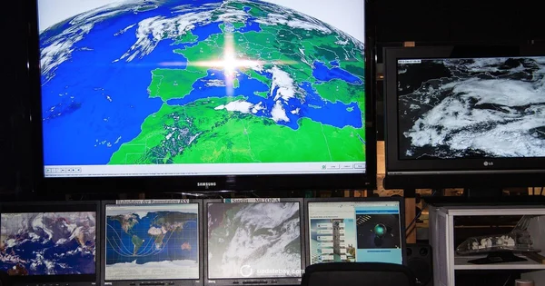


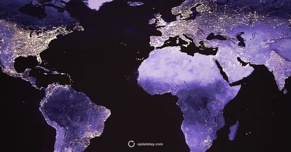
Discover how often Google Earth imagery and data are updated, what drives update frequency, and how this affects accuracy for maps, planning, and research. An analytical guide by Update Bay.

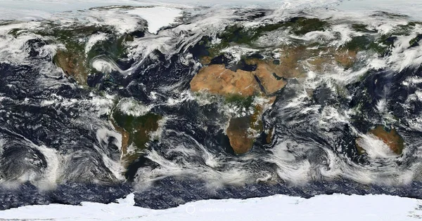
Learn how often Google Earth updates imagery, what drives cadence, and how to read image dates. A practical, data-driven guide from Update Bay for planners and enthusiasts.
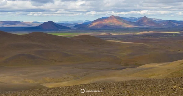
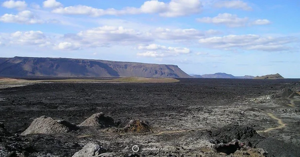
Data-driven update on Iceland's volcano activity, covering monitoring methods, key indicators, safety tips for residents and travelers, and direct links to official live alerts.
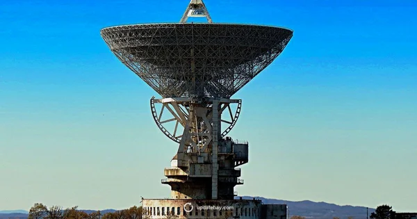
Discover how updated Google Earth is in 2026, with imagery cadence, data layer refresh rates, and regional differences. Update Bay Analysis, 2026. Tips.